Anthony Brookes Surveys Ltd owns two small boats in which we can undertake surveys on reservoirs, lakes and rivers. Using a combination of depth sounding techniques linked to either shore based survey instrumentation or GPS positioning, bed profiles and silt levels can be accurately mapped.
Survey data can be plotted in 2D or 3D plan information showing contouring/ shading or in sectional plans to show the bed profile.
Volumetric analysis can be undertaken to calculate storage capacities and ongoing monitoring can establish rates of silt deposition over a set period of time.
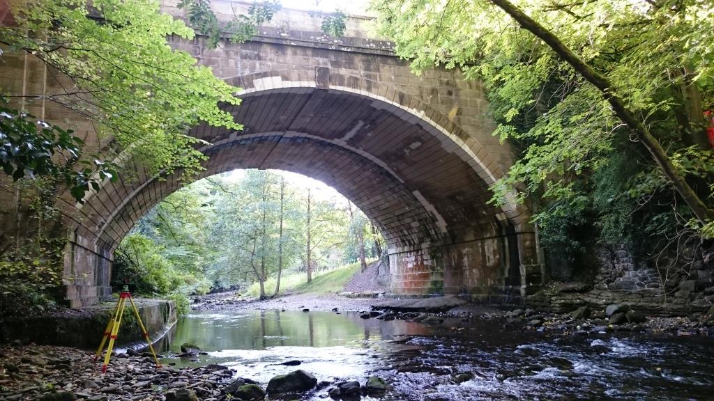
River surveys, usually surveyed in sectional format can be provided in CAD, Ascii or ISIS format for subsequent analysis using flood modelling software.


Cert 15302
ISO 9001, ISO 14001
Copyright © Anthony Brookes Surveys Ltd | Website designed by The Smarter Web Company
 01454 419 133
 info@anthonybrookes.com