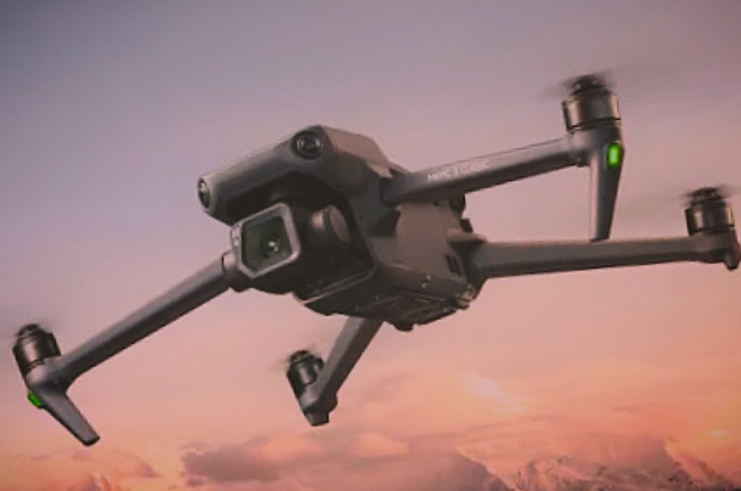
UAV/Drone survey can be invaluble for inaccessible or high risk areas, capturing data safely and rapidly. They are often used in conjuction with other survey methods to meet a client's requirements. Pilots are CAA approved and registered.
The high resolution camera and Lidar system can produce 3d pointclouds, detailed photography or a photo-georeferenced orthomosaic. These formats can be used for landslips and earthworks, digital terrain models, volume and area calculations, progress monitoring and various inspections.
Drone derived pointclouds can be merged with terrestrial pointclouds to provide the complete picture of a structure.


Cert 15302
ISO 9001, ISO 14001
Copyright © Anthony Brookes Surveys Ltd | Website designed by The Smarter Web Company
 01454 419 133
 info@anthonybrookes.com