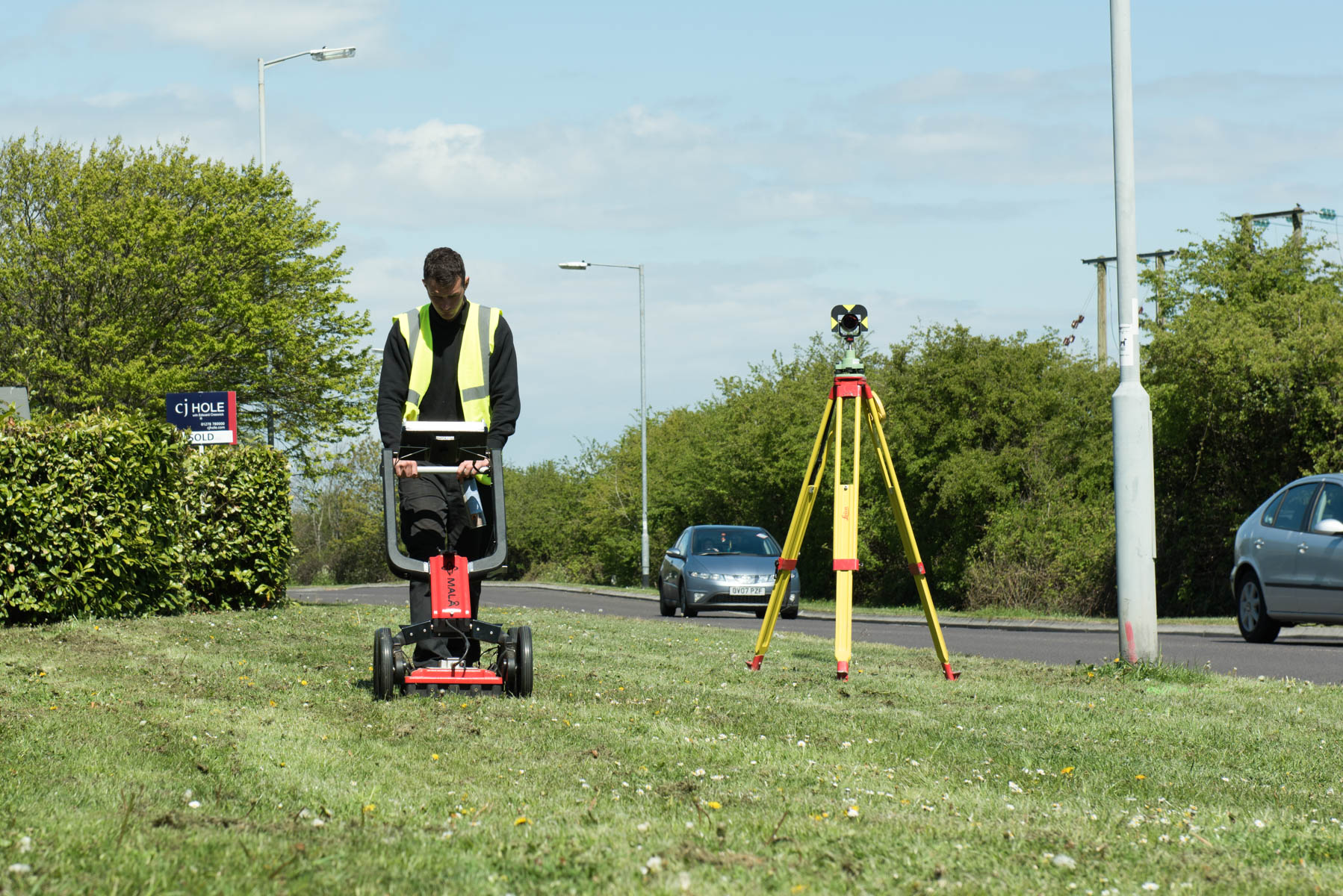
Ground Penetrating Radar (GPR) technology is used in conjuction with eletromagnetic and radio frequency to locate and determine the depth and position of metallic and non-metallic utilities and services. The wide scope of radar means we can also locate underground storage tanks and any associated ducting, sub surface concrete structures, voids and any other ground variations that may exist at your site.
As well as being used visually on site to locate buried features the data can also be recorded and later "post processed" in the office, providing a greater certainty of located targets.
GPR would be used as part of PAS 128 survey quality B. Guidance to the PAS 128 survey types can be found under the header Buried Services Tracing - PAS 128.


Cert 15302
ISO 9001, ISO 14001
Copyright © Anthony Brookes Surveys Ltd | Website designed by The Smarter Web Company
 01454 419 133
 info@anthonybrookes.com